Tiejianggou Fm
Type Locality and Naming
The type section is Tiejianggou section, located at the Dangchengwan Township, Subei Mongol Autonomous County. Geographical coordinates: 39°29′20.93″N, 94°41′14.79″E (GPS). It was named by Wang et al., in 2003.
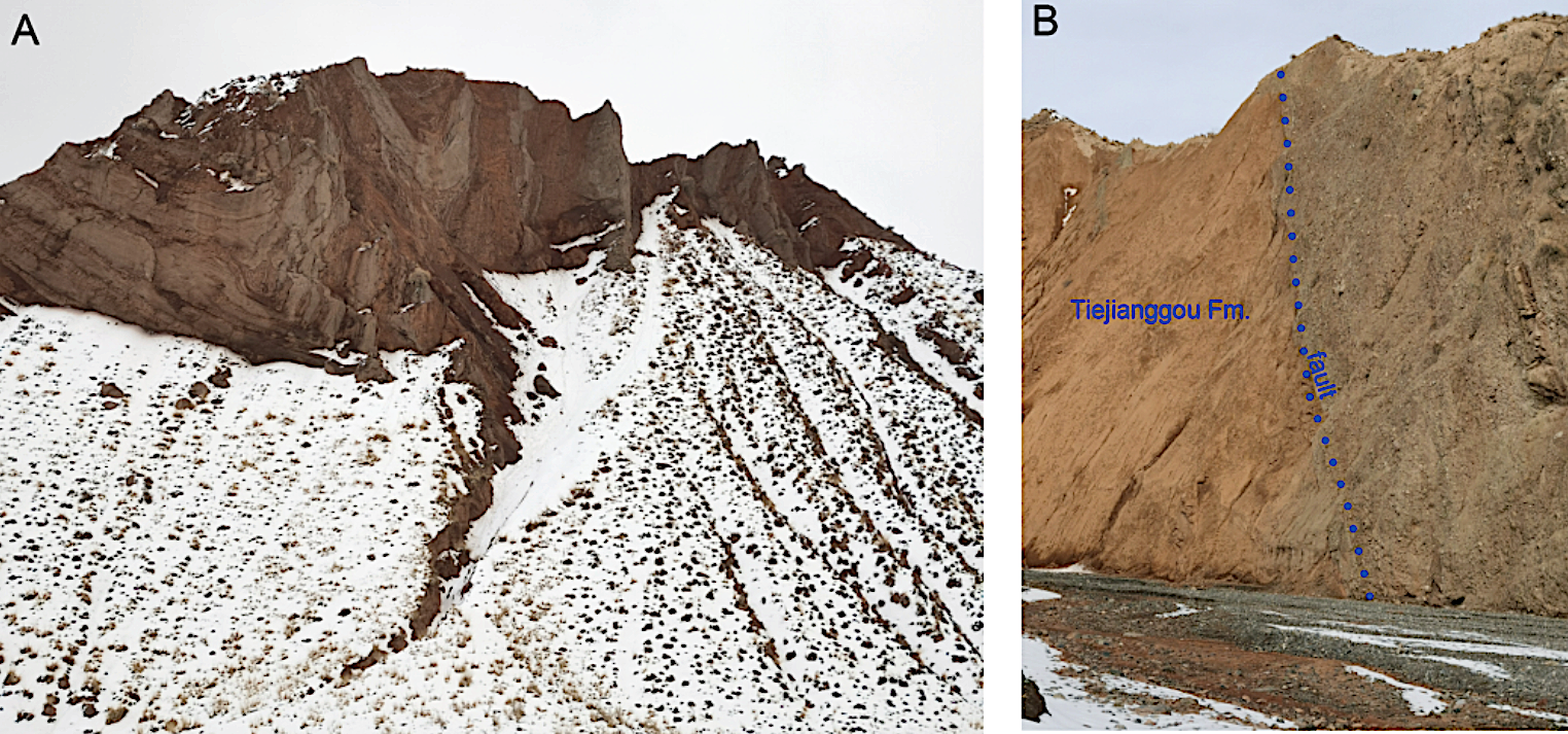
[Figure: Outcrops of the Xishuigou section. A, strong folding in the Tiejianggou Formation. B, the bottom fault contact with the underlying unnamed strata.]
Lithology and Thickness
The lithology upwardly thickens. Lower part is characterized by light brown massive mudstone with gray-green sandstone, fine conglomerate and thin-bedded siltstones; Middle part comprises light reddish brown sandstone, siltstone, mudstone and gray-brown sandstone, coarse sandstone, glutenite interbedded; Upper part dominated by gray-red, gray-brown massive conglomerate, breccia mixed with reddish brown sandstone, siltstone and mudstone. The thickness is larger than 2600 m.
Relationships and Distribution
Lower contact
It is in fault contacts with the underlying Paoniuquan Fm.
Upper contact
It is in fault contacts with the overlying unnamed Late Miocene to Pliocene strata.
Regional extent
It is distributed in Subei Mongol Autonomous County and Aksai Kazakh Autonomous County along the north foothill of the Dangjinshan Mountains.
GeoJSON
Fossils
Rodentia: Sayimys obliquidens, Heterosminthus sp. Litodonomys xishuiensis; Perissodactyla: Phyllotillon sp., Artiodactyla: Turcocerus sp., Amphiomschus sp.; Proboscidea: Platybelodon dangheensis; Carnivora: Schultzogale sp.,
Age
Depositional setting
Predominantly fluvial-lacustrine deposits, partially pluvial/alluvial fans.
Additional Information
